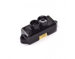
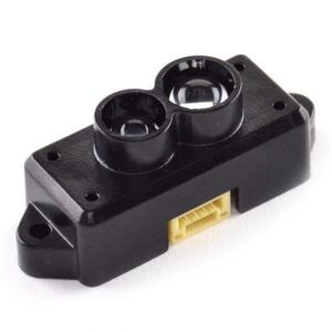
TFA170-L Long Range Ultra Lightweight 170m LiDAR Module for Drones, UAV, UAS, Robots, and Vehicles
As the latest generation product of the TF series, the TFA170-L inherits the cost-effective and compact integration characteristics of the previous two generations. The product is used for drones’ terrain following, cars’ collision avoidance, intelligent transportation, and industrial safety warnings.
- Wide range, as far as 170m
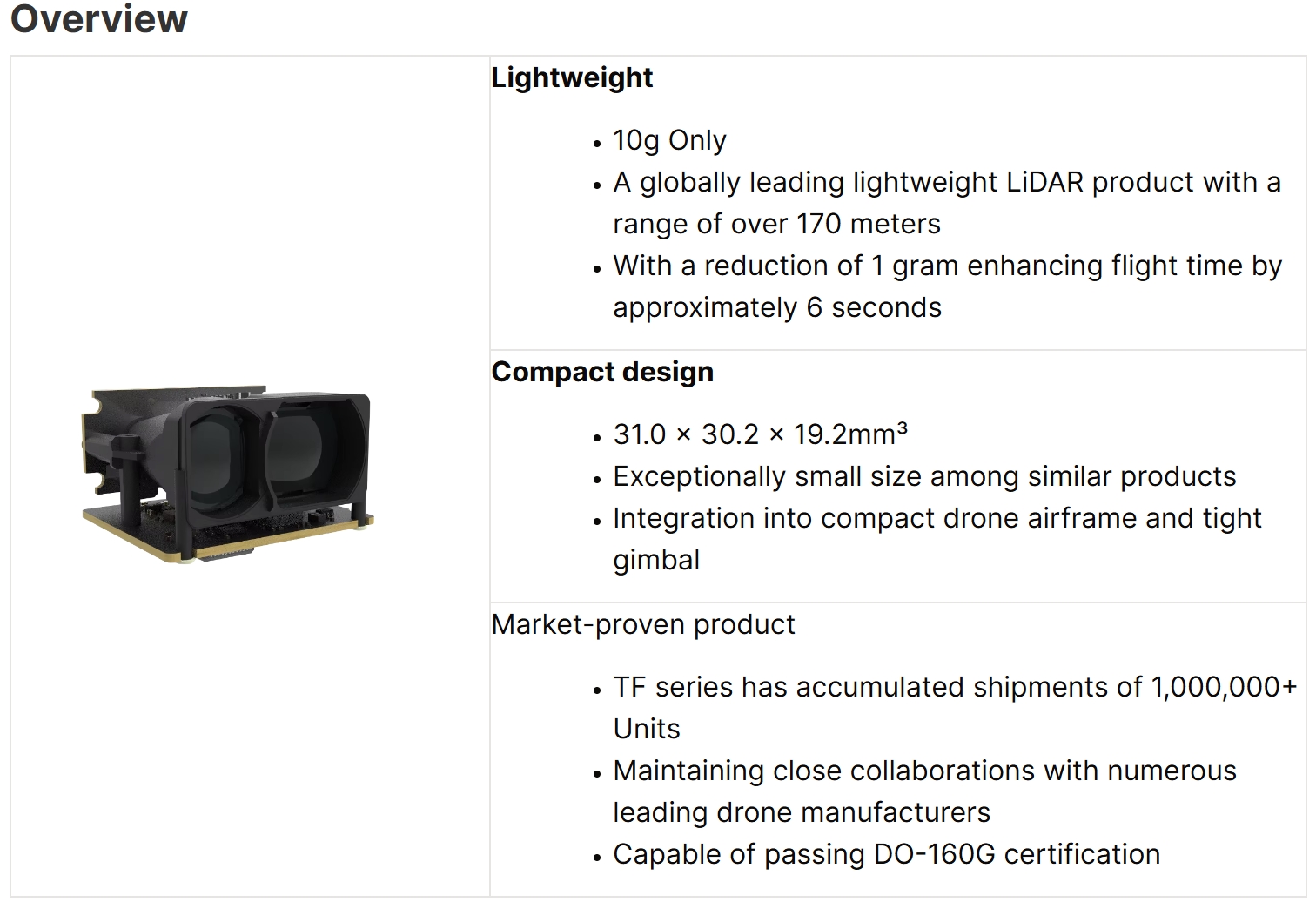
- Ultra lightweight 10g
- Multi-interface compatibility, able to be used in many fields
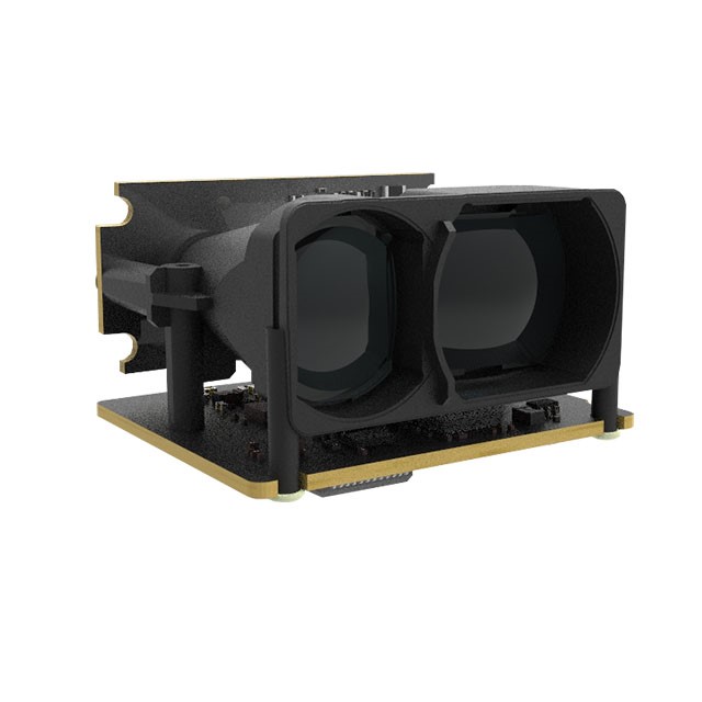
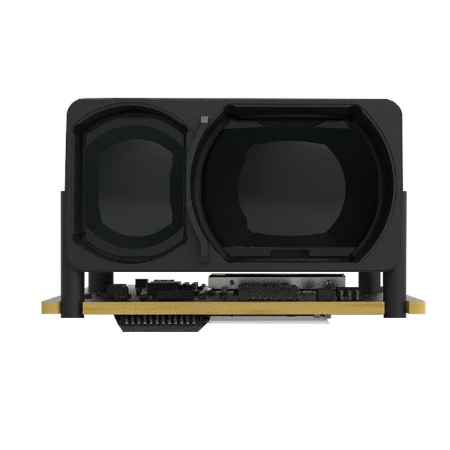
- Small in size and easy to integrate
- High-speed measuring up to 50Hz, high repeated accuracy
- Excellent highlight interference, able to be used outdoors
TFA170-L uses the pulse method to range the distance based on TOF (Time-of-Flight). Specifically, TFA170-L emits a beam of light, which will be reflected by the object and received by TFA170-L again.
- Long Range: 0.1-170m@90% reflectivity , 0.1-70m@10% reflectivity
- Distance resolution: 1cm
- FOV: <0.5°
- Accuracy: ±10cm (within 10 m), 1% (beyond 10m)
- Distance resolution:1cm
- Output frame rate: 50Hz
- Ambient Light Resistance: 100Klux
Plug and Play for all models with low integration cost
- Compatible with Multiple Hardware
- PS: Under the flight control firmware, i.e., PX4, Ardupilot, iNaV, and BetaFlight platforms support the following flight control hardware: Pixhawk1, Pixhawk Cube Series, Pixhawk Flight Controllers from Holybro, CUAV Series, Beagle Bone Blue, Drotek Pixhawk3
- Compatible with Multiple platforms
- PX4 Partner, Ardupilot Partner
Core Functions
- Terrain following/holding: Benewake LiDAR provides highly reliable absolute distance data with centimeter-level accuracy, effectively compensating for the poor ranging accuracy of barometers and GPS in complex environments near the ground. This capability supports drones in achieving highly reliable terrain following during flight.
- Position hold: Benewake LiDAR, with a divergence angle of less than 0.5°, can accurately target fine structures smaller than 10 cm at distances beyond 10 meters. This precision ensures that even small details can be reliably observed and inspected.
- Autonomous takeoff and landing: Benewake LiDAR’s measurement accuracy improves as the measurement distance decreases. Within 10 meters, the accuracy can reach less than ±10 cm, which perfectly meets the high-precision measurement requirements for autonomous takeoff and landing in this critical distance range.
- Depth perception and pinpoint: Benewake LiDAR can provide real-time measurements of target objects as small as 1.5 meters from 170 meters away. This allows the drone to pinpoint relative distance to points of interest in the images with an accuracy of ±(0.1m + distance * 0.5%).
Typical Applications: Delivery Drone
Functions:
- Terrain following/holding
- Autonomous takeoff and landing
Advantages:
- Accurate recognition of small target objects
- Benewake LiDAR features low power consumption, compact size, and lightweight, making it a perfect match for drone customers highly sensitive to these parameters
- High precision at close range, suitable for drones requiring stable landings
- Special algorithms have been optimized for measuring high-contrast black-and-white targets (such as QR codes)
Inspection Drone
Functions:
- Distance measurement: Measuring distance to interest points in the image
- Coordinate calculation: Inferring the coordinates of target objects using the angles from the IMU and the distance from the LiDAR
- Fixed-distance shooting: Capturing images of target objects at a fixed distance
Advantages:
- Accurate recognition of fine target objects/areas, such as iron towers
- A compact volume, making it suitable for integration into inspection drones or for embedding in a tight gimbal





Reviews
There are no reviews yet.